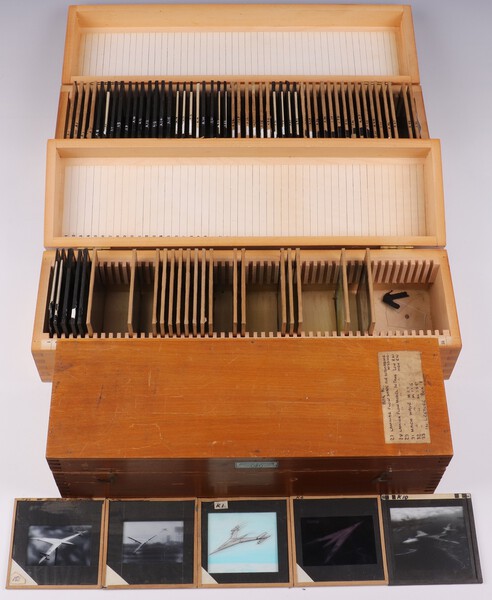
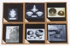
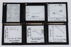
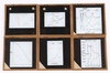
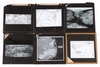
Lot 295
A collection of Barnes Wallis' lecture slides mainly about Aircraft, Strategic Maps and Technical Data in fitted numbered wooden boxes (97 slides, in 3 boxes)
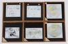
Box A, 49 slides (1 cracked)
Graphs mainly relating to aircraft performance, including supersonic. Some relate to WW2 explosives, like the Grand Slam 10 ton bomb
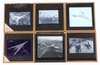
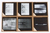
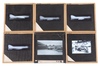
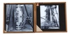
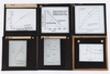
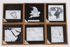
Box K, 26 slides (warped box; 1 slide cracked)
Slides 1-4 Photos and sketches of Swallow
Slides 6-7 Photos of Jet aircraft
Slides 9-18 Photos of flow patterns
Slide 20 Photo of three-engined flying boat
Slide 22 Photo of German WW2 flying bomb (doodlebug)
Slides 24-29 Unknown photos, possibly radar carried by aircraft
Slides 31-32 Miscellaneous photos
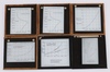
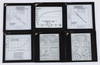
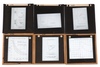
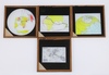
Box L, Maps and Air Routes, 22 slides (2 slides broken)
Range of Wellington Bomber. range of tactical missiles.
Maps of playing fields, Middle East RAF bases 1929-1956, UN voting groups, non-centrality of New York.
World maps based on various strategic cities, including London. London to Melbourne mail routes, by sea and by air (probably 1930s).
1969 world map: spot the gaps in our defences ... when the carriers are gone.
SOLD £320