sign in

Lot 429
Map, a new and accurate plan of the Cities of London, Westminster and Borough of Southwark with the new roads and new buildings to the prefent year 1798 from the late survey to which is added many useful tables, views and etc, with coloured vignettes including Nelson's Column, St Paul's Cathedral, Westminster Abbey and The Queen's Palace together with a prospect of The Royal Palace at St James' 59cm x 105cm SOLD £180

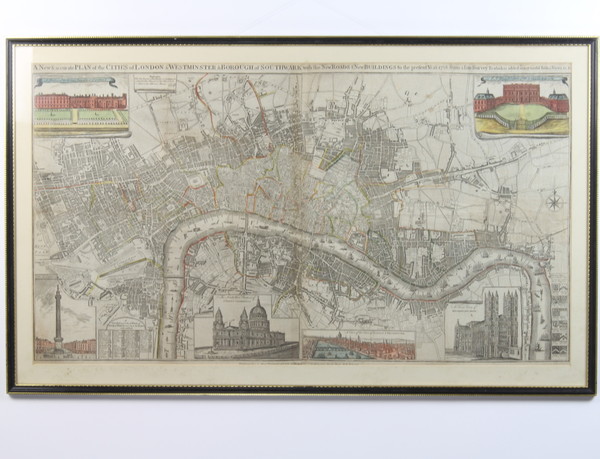
We believe this map to be an original and not a later copy. It appears to be stuck to the backboard. There is a tear to the right hand side just below the compass, a small hole above the image of St Paul's and just above the Strand. There is some minor staining and misalignment along the fold lines.

From Map in the Oil Paintings, Watercolours and Prints section in our Antique, Fine Art and Collectables auction held on Wednesday 23rd of October 2019