Catalogue for our Antique, Fine Art and Collectables auction held on Wednesday 21st of November 2007
Auction Categories
Return to main sections
Viewing 1
10 sub categories viewing : Other in Paintings, Watercolours, Prints, Sculpture and Works of Art
10 sub categories viewing : Other in Paintings, Watercolours, Prints, Sculpture and Works of Art
description ( and estimated value in GBP )
776
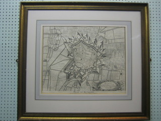
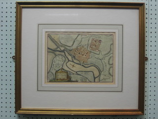
An 18th Century black and white map of Bethune 16" x 19" the reverse with Church Gallery label £50-75779
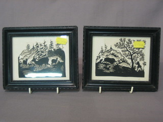
Seherenschnitt, a pair of Continental wood cuts "Wild Boar Hunting and Deer Amidst Forest" 3" x 4" £20-30
781
6 framed Persian poetry scripts 6" x 4" each, contained in 3 frames £90-120
784
An Eastern painting on fabric "Two Mythical Gods" 34" x 12" £10-20794
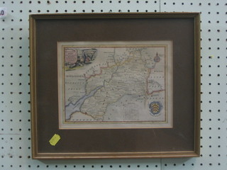
Thomas Kitchen, 18th Century map "Gloucestershire" 7" x 9" (tight to mount) reverse with Regent Gallery label Cheltenham £10-20
836
A 19th Century coloured map "A Survey of the Roads and Footpaths of Islington" from the plan in the vestry rooms drawn in the year 1735 14" x 9" £20-30854
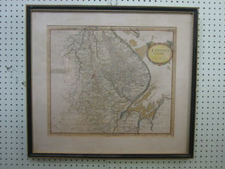
Robert Modern, an 18th Century map of Lincolnshire 14" x 16", some foxing £50-75855
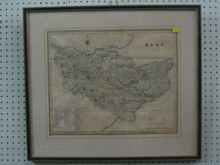
A Victorian G Virtue map of Kent 1829 12" x 16" £20-40920
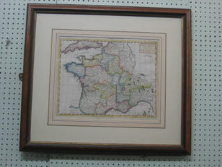
A coloured map "New and Correct Map of France Rapins History" 11" x 14", the reverse with old Church Galleries label £30-50922
A map "Fifth Chart French Coast 1792", the reverse with Church Galleries label 8" x 11" £40-60924
A map "Eighth Chart of The Coast of France" 9" x 13" (some water damage) £20-30927
An 18th Century town map of "Boulogne" 8" x 11" the reverse with old Church Galleries label £40-60932
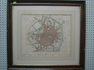
A 19th Century coloured map of Milan 12" x 15" £20-30934
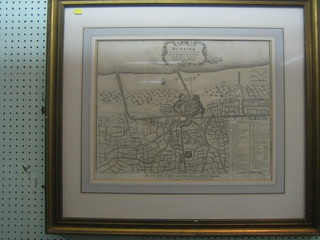
An 18th Century black and white map of Dunkirk, the reverse with old Church Gallery label 15" x 19" £50-75
