Catalogue for our Antique, Fine Art and Collectables auction held on Wednesday 23rd of October 2019
Auction Categories
Return to main sections
Viewing 1
8 sub categories viewing : Map in Paintings, Watercolours, Prints, Sculpture and Works of Art
8 sub categories viewing : Map in Paintings, Watercolours, Prints, Sculpture and Works of Art
description ( and estimated value in GBP )
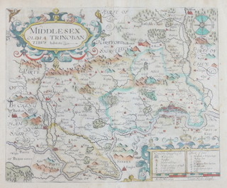
410
Johannes Norden, map of Middlesex with coloured borders 27cm x 33cmsold for £70
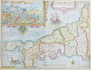
411
William Kip, map of Cornwall with coloured borders and vignette 29cm x 39cmsold for £70
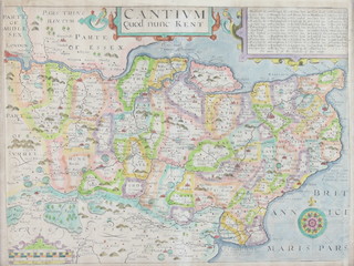
412
William Kip, map of Kent with coloured borders 28cm x 38cmsold for £70
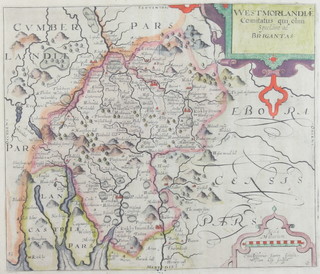
413
William Kip, map of Westmoreland with coloured borders 27cm x 31cm422
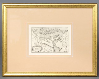
Map of Dieppe Bombarde 1694, engraving study of Dutch and English ships firing on the fortified city of Dieppe, 12cm x 17cm429
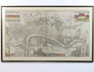
Map, a new and accurate plan of the Cities of London, Westminster and Borough of Southwark with the new roads and new buildings to the prefent year 1798 from the late survey to which is added many useful tables, views and etc, with coloured vignettes including Nelson's Column, St Paul's Cathedral, Westminster Abbey and The Queen's Palace together with a prospect of The Royal Palace at St James' 59cm x 105cmsold for £180
